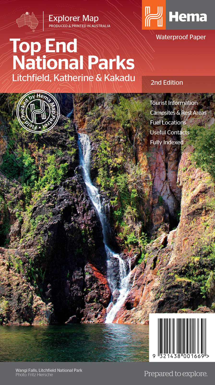

Hema Top End National Parks Map: Litchfield, Katherine & Kakadu
SKU code: 9321438001669
$15.95
Hema Top End National Parks Map: Litchfield, Katherine & Kakadu
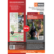
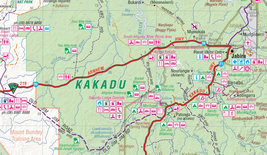
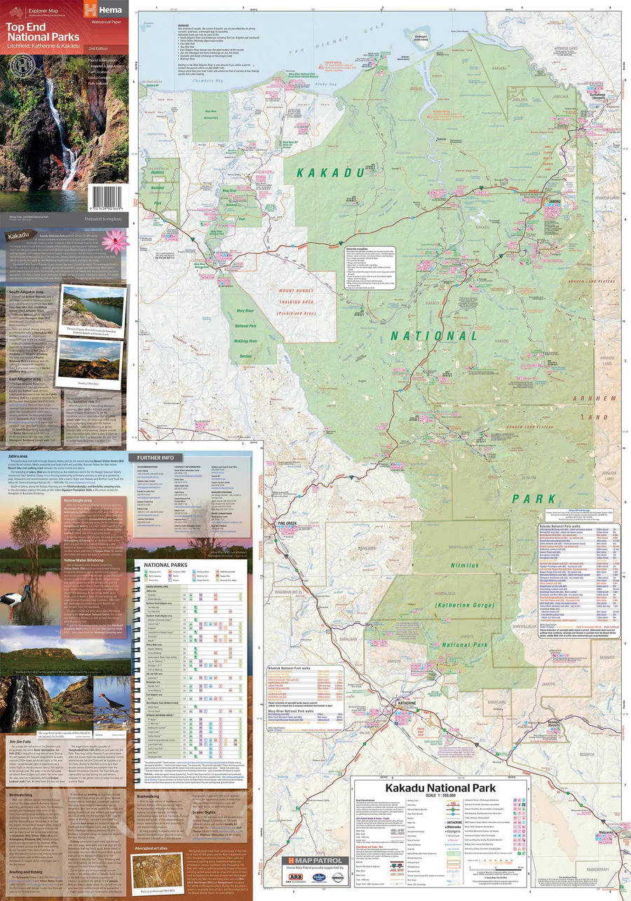
Top End National Parks Map: Litchfield, Katherine & Kakadu (2nd Edition) - A regional map that features Litchfield (1:160,000), Katherine Gorge and Kakadu (1:350,000) national parks.
Top End National Parks Map: Litchfield, Katherine & Kakadu (2nd Edition)
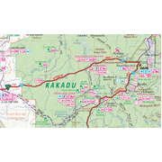
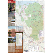
A regional map that features Litchfield (1:160,000), Katherine Gorge and Kakadu (1:350,000) national parks. A Darwin region map is included (1:850,000) along with extensive tourist information for Darwin and the surrounding region, Arnhem Highway to Kakadu, Mary River, Stuart Highway to Katherine, Litchfield National Park, Katherine Gorge (Nitmiluk) National Park and Kakadu National Park. Also included are national park facility listings in addition to contact details for accommodation and visitor centres in the region.
Key Features
- National Parks facility listing
- Popular tourist routes
- Campsites & rest areas
- Tourist information
Key Specifications
Edition: 2nd
Publication Date: 01/11/14
Scale: 1:850,000 & 1:160,000
Folded size (WxHxD): 140mm x 250mm x 3mm
Flat size (WxH): 700mm x 1000mm
Weight: 0.09kgs
| SKU | 9321438001669 |
| Model # | 9781865009872 |
| Barcode # | 9321438001669 |
| Brand | Hema Maps |
| Shipping Weight | 0.0500kg |
| Shipping Width | 0.140m |
| Shipping Height | 0.030m |
| Shipping Length | 0.250m |
| Shipping Cubic | 0.001050000m3 |
Be The First To Review This Product!
Help other Down Under Camping users shop smarter by writing reviews for products you have purchased.


