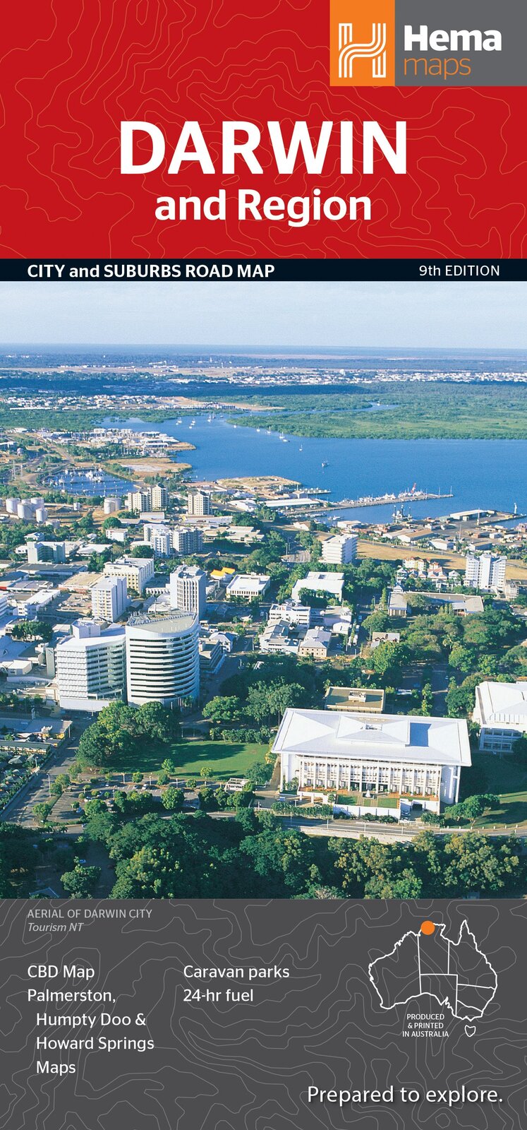

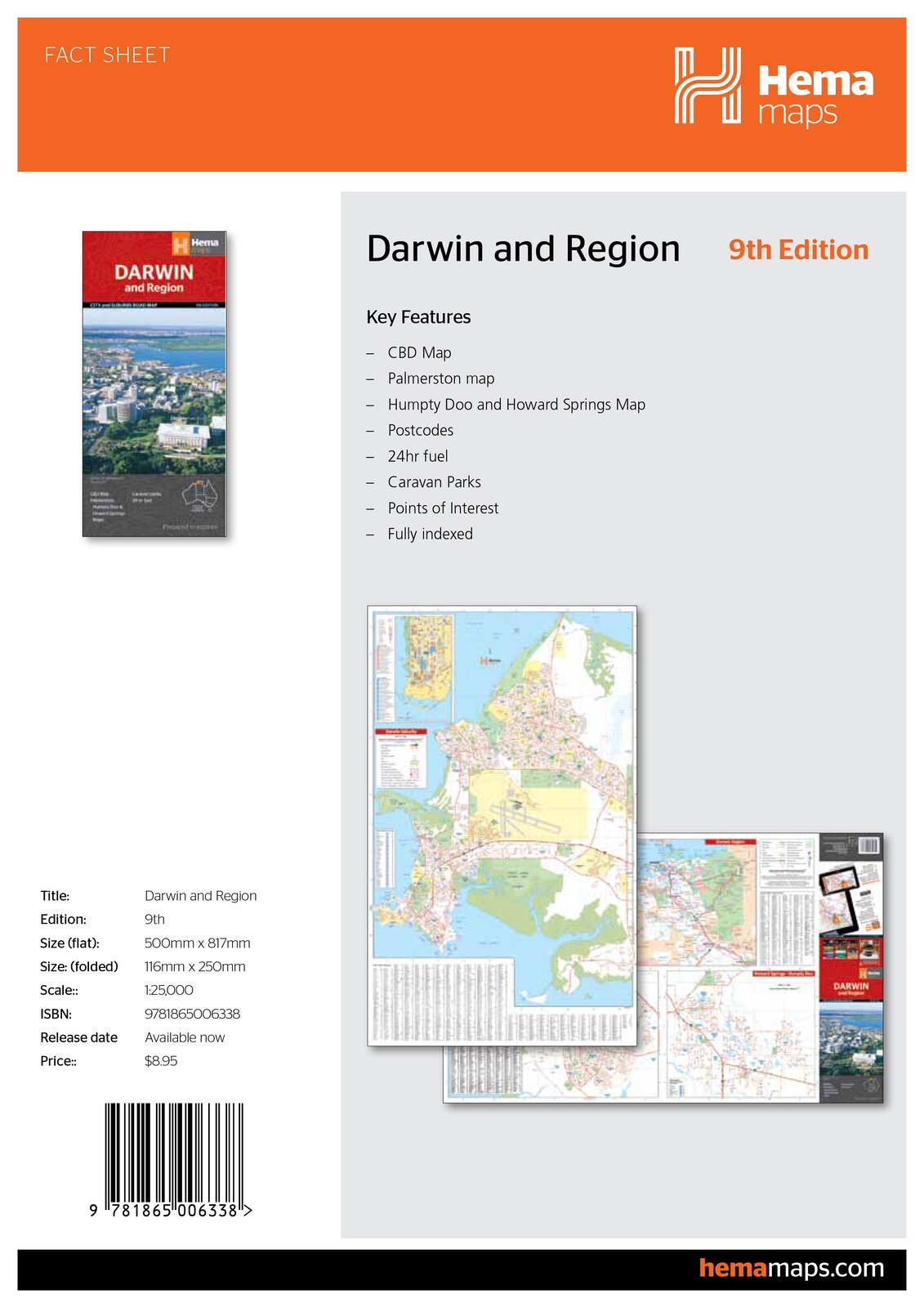
Hema Darwin & Region Map
Darwin and Region Map (9th Edition)
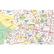
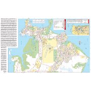
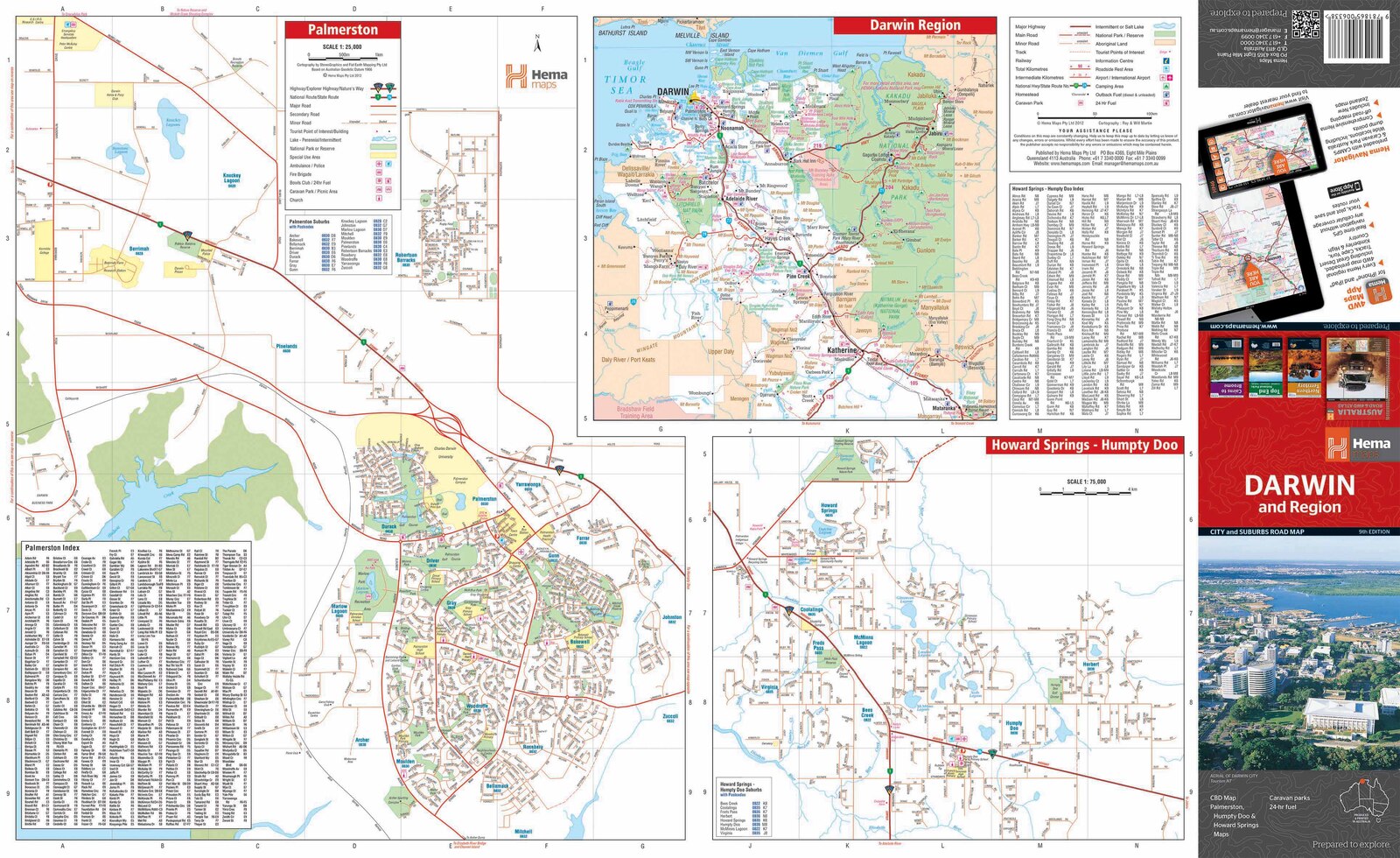
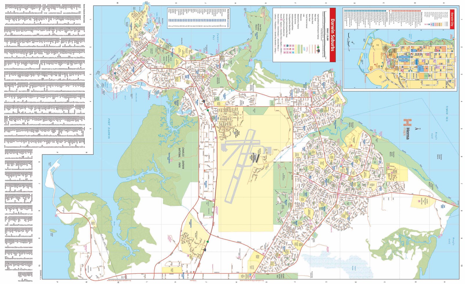
Hema's Darwin and Region Map features Darwin city (1:25,000) and suburbs on one side and maps of Palmerston (1:25,000), Howard Springs to Humpty Doo (1:75:000) and the Darwin region on the reverse.
Key Features
- CBD map
- Regional map
- Postcodes
- 24-hour fuel
- Caravan parks
- Points of interest
- Fully indexed
Originally known as Palmerston (the name was changed to Darwin in 1911), it used to be a dusty, sleepy savannah town. Today it's a bustling, multi-cultural, tropical city albeit with a laid-back attitude.
Founded in 1869 as the landing point for a marine telegraph cable from Java, the city has had more than its fair share of hard knocks. It has been devastated by cyclones three times, almost bombed out of existence, and brought to its knees by economic catastrophe.
Darwin's CBD is sited on a small peninsula that juts into Darwin Harbour. About twice the size of Sydney Harbour, it's the city's main recreational playground. There are some great beaches around its shores, and the mangrove forests attract fishing tours and bird-watchers. There are sailing, reef fishing and water sports at several spots around the harbour. Dive around the remains of several WWII vessels including the destroyer USS Peary and the wrecks of Cyclone Tracy.
Darwin offers many good fishing spots, including Stokes Hill Wharf for queenies, Spanish mackerel, trevally and long-tailed tuna, and Mandorah Jetty on the opposite side of the harbour. The rock walls at Dinah Beach are good for mud crabs, and casting at night on a high tide can yield bream and barramundi. Sunset picnics are extremely popular in Darwin, particularly on the cliff tops at Fanny Bay, East Point, Nightcliff and Casuarina.
There are some great beaches including Mindil Beach and 8km-long Casuarina Beach. One of Darwin's favourite recreation venues, the Casuarina Coastal Reserve stretches along 8km of sandy beach between Rapid Creek and Buffalo Creek. Within its 1500 hectares are colourful cliffs, eucalypt woodlands, mangroves and monsoon forest. You'll find shaded picnic areas at Dripstone Cliffs, Dripstone Park, Lee Point and Buffalo Creek. Dripstone Cliffs is a popular venue for cliff-top picnic dinners with sunset views. From the beach car park, shared dirt paths allow access to the mouth of Sandfly Creek and Lee Point. Much of the track to Lee Point winds through dense bush, with occasional gutters, steep descents and sharp corners waiting for the unwary cyclist. There are a couple of interesting WWII sites along the bike path to Lee Point and more at Buffalo Creek.
Around Darwin, nature enthusiasts should check out Howard Springs, Berry Springs and Territory/Nature & Wildlife Parks for a great place to spend a day outdoors. Shoal Bay is a popular spot for crabbing and barra fishing. Dundee Beach has a bush resort and camping area and a concrete ramp and is very popular with Darwinians.
Key Specifications
Edition: 9th
Publication Date: 01/09/11
Scale: 1:25,000
Folded size (WxHxD): 116mm X 250mm x 3mm
Flat size (WxH): 700mm X 1000mm
Weight: 0.05kgs
| SKU | 9781865006338 |
| Barcode # | 9781865006338 |
| Brand | Hema Maps |
| Shipping Weight | 0.0500kg |
| Shipping Width | 0.116m |
| Shipping Height | 0.030m |
| Shipping Length | 0.250m |
| Shipping Cubic | 0.000870000m3 |
Be The First To Review This Product!
Help other Down Under Camping users shop smarter by writing reviews for products you have purchased.


