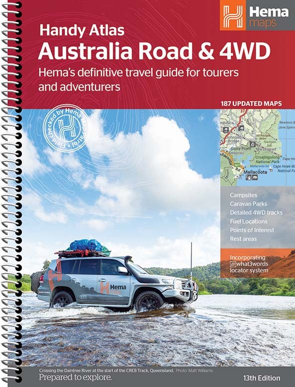
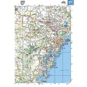
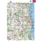
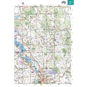
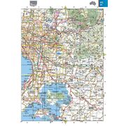
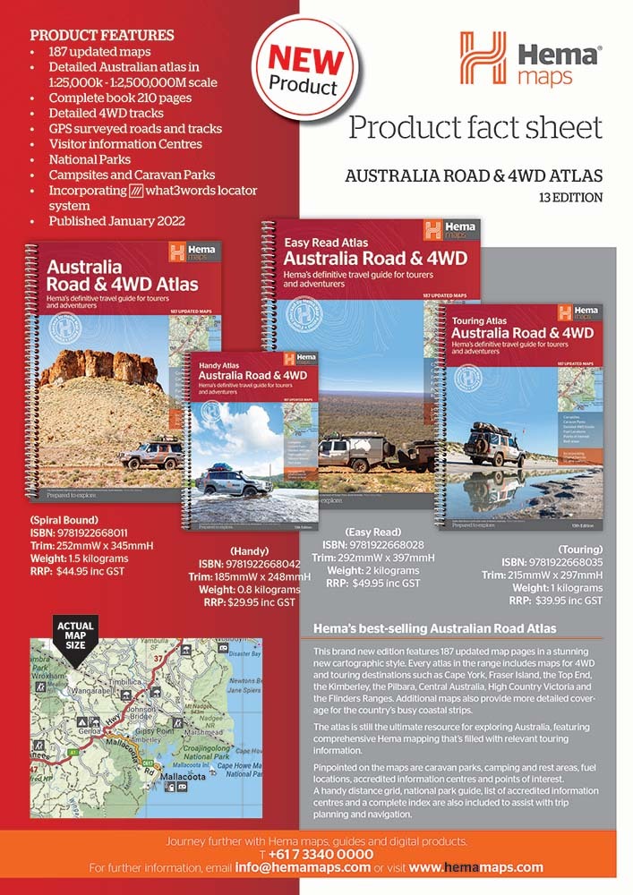
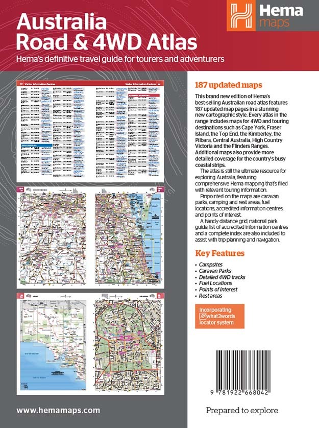
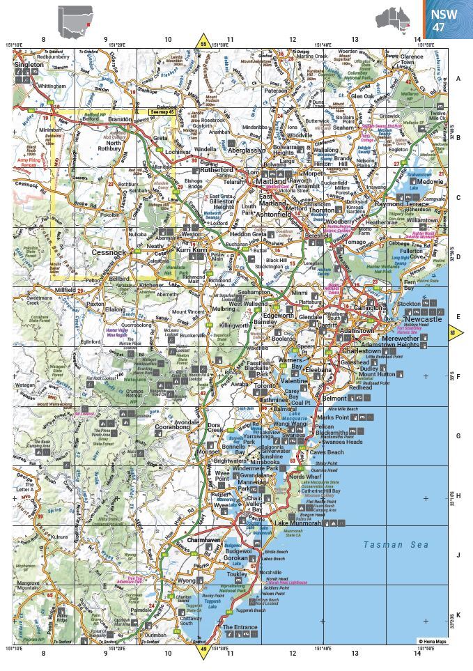
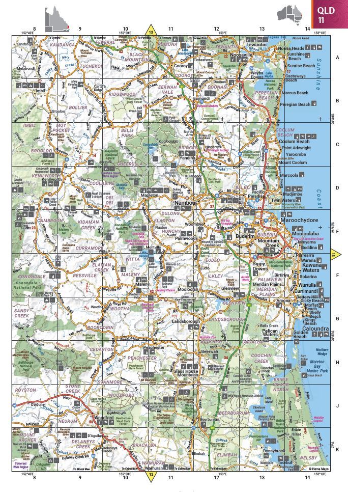
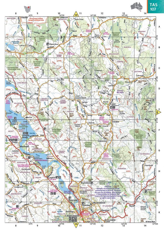
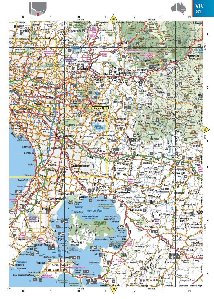
Featuring trusted Hema mapping for all of Australia, the Hema Road & 4WD Handy Atlas is the definitive travel guide for tourers and adventurers. Hema atlases feature more information useful to travellers, including 4WD tracks, campsites, caravan parks, rest areas, 24-hour fuel and points of interest.
This edition in a handy size contains more mapping than ever before, which is enhanced by a striking new cartographic style that?s incredibly easy to read. Included in this is up-to-date mapping for Australia's biggest 4WD destinations: Cape York, Fraser Island, the Top End, the Kimberley, the Pilbara, Central Australia, High Country Victoria and the Flinders Ranges.
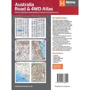
A handy distance grid, national park guide, list of accredited information centres and a complete index are also included to assist with trip planning and navigation, making it the perfect tool for guiding tourers, campers, road trippers and off-roaders throughout Australia.
Key Features
- Detailed 4WD tracks
- Fuel
- Points of interest
- National parks
- Campsites
- Caravan parks
- Rest areas
- Road distances
- Fully indexed
Key Specifications
Edition: 13th
Publication Date: 31/01/22
Number of Pages: 224
Height: 248mm
Width: 185mm
Depth: 15mm
Weight: 1.34kg
| SKU | 9781922668042 |
| Model # | 9781865009797 |
| Barcode # | 9781922668042 |
| Brand | Hema Maps |
| Shipping Weight | 0.2000kg |
| Shipping Width | 0.184m |
| Shipping Height | 0.020m |
| Shipping Length | 0.248m |
| Shipping Cubic | 0.000912640m3 |
Be The First To Review This Product!
Help other Down Under Camping users shop smarter by writing reviews for products you have purchased.


