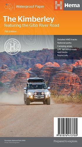
Hema Map The Kimberley Featuring The Gibb River Road 15th Edition
SKU code: 9781876413705
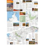
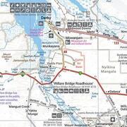
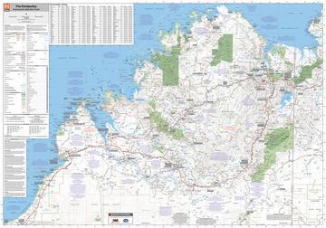
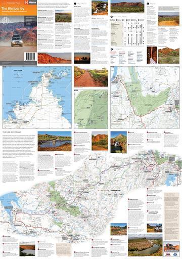
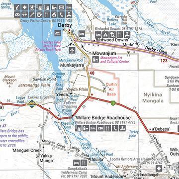
A regional map of the Kimberley that features the iconic Gibb River Road. On the reverse are inset maps for Purnululu National Park, the Dampier Peninsula and the Parry Creek area. There is also extensive drive detail and trip coverage for the Gibb River Road.
- Waterproof paper
- Detailed 4WD tracks
- National parks
- Camping areas
- GPS surveyed roads & tracks
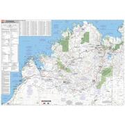
This new edition of Hema’s best-selling Kimberley map features our latest mapping and points of interest in a stunning new cartographic style. It combines Hema’s entire database of remote roads and 4WD tracks with touring points of interest and topographic information.
This waterproof regional map of the Kimberley features the Gibb River Road. On the reverse are inset maps for Purnululu National Park, the Dampier Peninsula and the Parry Creek area. Detailed trip coverage and drive detail for the Gibb River Road is featured as well, with inset mapping covering the journey and corresponding text to guide explorers.
Also included is national park information and relevant contact details for pre-trip planning and use on the road or track.
| SKU | 9781876413705 |
| Model # | 9781876413705 |
| Barcode # | 9781876413705 |
| Brand | Hema Maps |
| Shipping Weight | 0.1000kg |
| Shipping Width | 0.150m |
| Shipping Height | 0.050m |
| Shipping Length | 0.250m |
| Shipping Cubic | 0.001875000m3 |
Be The First To Review This Product!
Help other Down Under Camping users shop smarter by writing reviews for products you have purchased.


