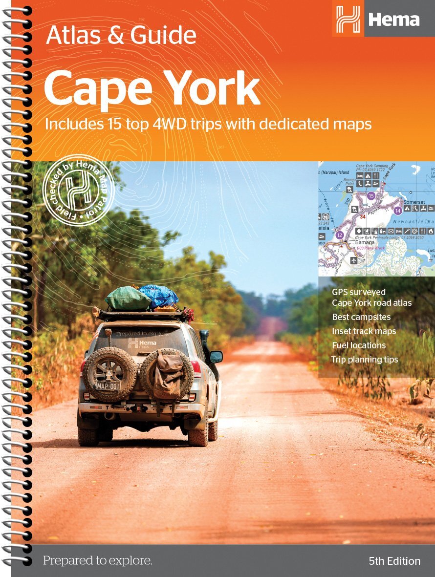
Hema Maps’ Cape York Atlas & Guide helps you make the most of your visit to this remarkable part of Australia.
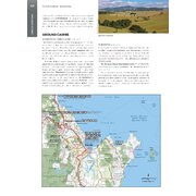
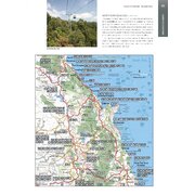
With detailed coverage of The Tip, the coast from Cairns to Cooktown, Rinyirru (Lakefield) National Park, the Peninsula Developmental Road, Old Telegraph Track, Torres Strait and the Savannah Way, it ensures you won’t miss the ‘must-see’ attractions, but it also describes some of the lesser known areas favoured by the experts. Whether you just want to make it to The Tip or are looking for a serious 4WD adventure, this informative book is an indispensable companion.
The book features 15 4WD trips, explored and revised by travel journalist Ian Glover, with photography by Matt Williams. Each trip has a detailed map, plus all the information you need to plan the trip including trip grading, longest distance without fuel, permits and contact details.
This brand new edition of Hema’s best-selling outdoor guidebook for discovering Cape York now features 22 atlas pages in a stunning new cartographic style and also incorporates content from the popular Cape York Travel & Adventure Guide by Ron and Viv Moon as well.
Key Features:
- Featuring the top 15 4WD trips, including The Old Telegraph Track
- Detailed inset maps for every track
- Best campsites
- Trip planning tips
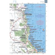
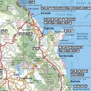
- Contains a detailed Road Atlas for Cape York, including detailed mapping for The Tip
- Maps show fuel, camping areas and rest areas
- New cartographic style with latest mapping, points of interest and facilities
- Mapping field-checked by the Hema Map Patrol
| SKU | 9781876413439 |
| Model # | 9781876413439 |
| Barcode # | 9781876413439 |
| Brand | Hema Maps |
| Shipping Weight | 0.9220kg |
| Shipping Width | 0.230m |
| Shipping Height | 0.020m |
| Shipping Length | 0.300m |
| Shipping Cubic | 0.001380000m3 |
Be The First To Review This Product!
Help other Down Under Camping users shop smarter by writing reviews for products you have purchased.


